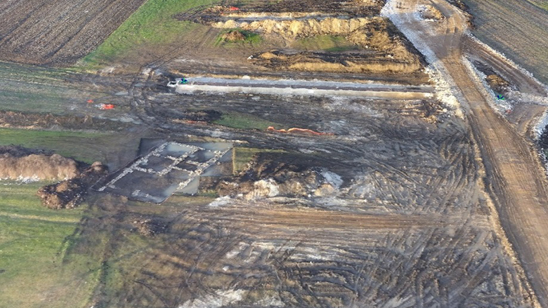
In 1999, the men and boys of the Krusha e Madhe village in Kosovo were killed in the Balkan conflicts. In the almost 20 years since that time, the women of Krusha have been rebuilding their community and lives with the support of international donors. Like many small business owners around the world, the women have organized cooperatives and sell their products throughout the region. However, they face one major issue: most of them do not have formal registration to their land or homes which prevents them from using their land as an effective economic asset. Lack of access to land rights systems is currently a challenge for almost 70% of the world’s population, especially women.
“I have tried so many times to get credit and they’ve rejected me because I didn’t have the property documents to put down as a guarantee,” said Fahrije Hoti, the Director of the “Krusha” Cooperative.
The time, cost and complexity of conventional land surveying and registration (also known as cadastral mapping and registration) is an obstacle for these women. It often takes years and is too expensive to complete, leaving these women with no information or legal protection of their rights.
The World Bank is implementing a $12 million Real Estate and Cadastre Project to assist the government in producing a national cadastre system and geospatial data infrastructure. The team has begun to use new technology and methods to improve the effectiveness of the project. Unmanned Aerial Vehicles (UAVs), more commonly known as drones, have come to the rescue. These commercial drones are small and feather-light. They offer a turnaround mapping service from planning to product in a matter of days or weeks rather than months or a year and at a fraction of the cost of conventional aerial surveying using manned aircraft.
The World Bank’s Innovation Labs in the Leadership, Learning, and Innovation vice presidency owns a “Sensefly eBee fixed-wing UAV” to pilot its usage in World Bank projects. Kathrine Kelm, senior land administration specialist from the World Bank Group’s Global Land and Geospatial unit had been working on land management in Kosovo and was looking for a way to make her work there more effective. Her team had already piloted the use of drones for cadastral mapping in Albania in 2014, but were looking to scale up the work to operational value. Along with Dr. Bruno Sanchez Andrade Nuno, data scientist with Innovation Labs, and an international team of expert consultants, the team strategized together to improve the identification of land plots using drones.
Kelm and Sanchez travelled to Kosovo in December to complete a one week cadastral mapping activity. They worked closely with the National Mapping Authority and completed 25 flights.


